A big-view loop on the mesa below Zion
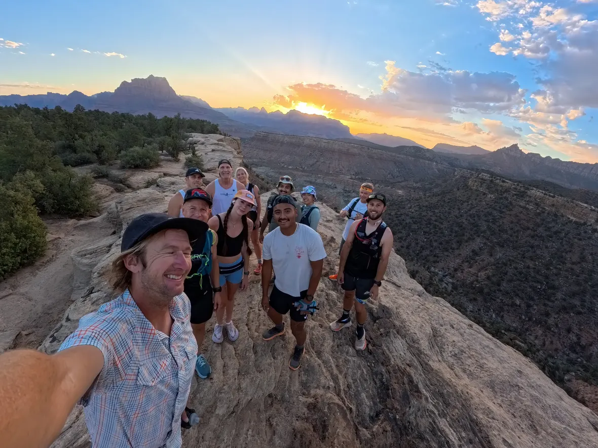
Wire Mesa is a 7.2-mile loop with great views of Zion National Park and the surrounding area, about an hour from St. George. It is fairly flat, with about 574 feet of climbing, but still challenging, with sandstone to navigate and some sand.
Overall it is very runnable, and the views will have you stopping for photos. On the sandstone sections, look for white paint marks to help with navigation, and keep an eye out for petrified wood along the trail.
The trail sits higher than St. George, so temperatures run a little cooler, but it is still desert: hot in summer and cold in winter. In warmer weather, watch for snakes.
Wire Mesa trail facts
- Distance
- 7.2 miles (loop)
- Vertical gain
- 574 ft
- Terrain
- Dirt, sandstone, some sand
- Technicality
- Small climbs, some rocks
- Navigation
- Moderate
- Trailhead
- Wire Mesa Trailhead
- Parking
- Gravel lot
- Fees
- None
- Dog friendly
- Yes
- Cell coverage
- Yes
- Amenities
- None at trailhead
- Best time
- Sunset for views
Wire Mesa map & elevation

The first half rolls gently between about 4,300 and 4,390 feet, with the low point around mile 2.5. The second half climbs gradually to the high point near mile 6.7, then drops back to the trailhead. We like running it counterclockwise, as shown on the map.
What you’ll see on Wire Mesa


Before you run Wire Mesa
- Follow the white paint.On the sandstone sections, white paint marks show the way. Put the GPX track on your watch as a backup.
- Wear a grippy trail shoe.Small climbs, rocks, slickrock and some sand reward good grip.
- Dress for the season.The mesa sits around 4,300 to 4,500 feet. It is cooler than St. George but can still be very hot in summer and very cold in winter.
- Watch for snakes.In warmer temperatures, keep an eye on the trail ahead.
- Look for petrified wood.Pieces of petrified wood show up along the trail.
- Check the road.Smithsonian Butte Road is graded dirt. It is usually fine for regular cars when dry, but avoid it after rain.
Getting to the Wire Mesa Trailhead
Wire Mesa Trailhead: a BLM trailhead off Smithsonian Butte Road, about 50 to 60 minutes from St. George.
- Head north on I-15 for about 7 miles, take Exit 16 and follow Highway 9 toward Hurricane.
- In Hurricane, turn right on Main Street, then left onto Highway 59.
- Drive about 15 miles on Highway 59, then turn left onto Smithsonian Butte Road, a well-graded dirt road.
- Go about 6 miles, pass the Gooseberry Mesa turnoff, and continue straight.
- Turn left at the Wire Mesa sign and follow the smaller dirt road to the trailhead parking.
Road conditions: the dirt road is usually fine for regular cars when dry. Avoid it after recent rain.
Parking: free gravel lot.
Amenities: none at the trailhead. Bring all your water.
Planning a long day on the mesa?
Stop by for trail shoes, a hydration pack and fuel before you make the drive.